Maps of Nantucket Sound and Harbor Provenance: The Susie Hilfiger Collection
$1,800
Map Sz: 22 1/2"H x 17"W Frame Sz: 26 1/2"H x 20 3/4"W *w/ age...
"A Map Of Mount Desert Island Maine Ceramic Glazed Tile/ Coaster Made In England" (SOLD)
Price on Request
Sz: 6" x 6" x 1/4"D Stamped: Richards
"Set x 3 Tonkin Of Nantucket x Shenango China Dinner Plates w/ Island Map"
$750
Sz: 10 1/4" x 1"D Suitably designed for bracket wall mounting For over forty years,...
"Rand McNally & Co's Handy Guide To The Hudson River And Catskill Mountains" 1905
$250
[245] pp. Rand McNally 1905 6 3/4" x 4 1/2" w/ 4-fold map of The...
"Polo Land" North Shore Long Island c1920s Map (Reprint)
$950
Print Sz: 19 1/2"H x 15 1/2"W Frame Sz: 21 1/2"H x 17 5/8"W w/...
"Millbrook Hunt Coverts And Fixtures Map" (SOLD)
Price on Request
Print Sz: 23 3/4"H x 14 1/4"W Frame Sz: 24 7/8"H x 15 1/8" Founded...
Millbrook Hunt Hallmark Farm Hunter Trials 1998 Watercolor By Jeremy Rugge-Price
$2,800
Art Sz: 19 1/2"H x 28 1/2"W Frame Sz: 22 1/2"H x 31 1/2"W w/...
"Millbrook Hunt x Hallmark Farm Hunter Trials Map" 1999 Print by Jeremy Rugge-Price
$1,400
Print Sz: 15 3/4"H x 22 3/4"W Frame Sz: 23 3/4"H x 31 1/4"W w/...
"Map Of The Foxhound Hunt's Of Great Britain Including Kennels" 1984
$350
As Recognized By The Masters of Foxhounds Association Sz: 26 1/2"H x 19 3/4"W The...
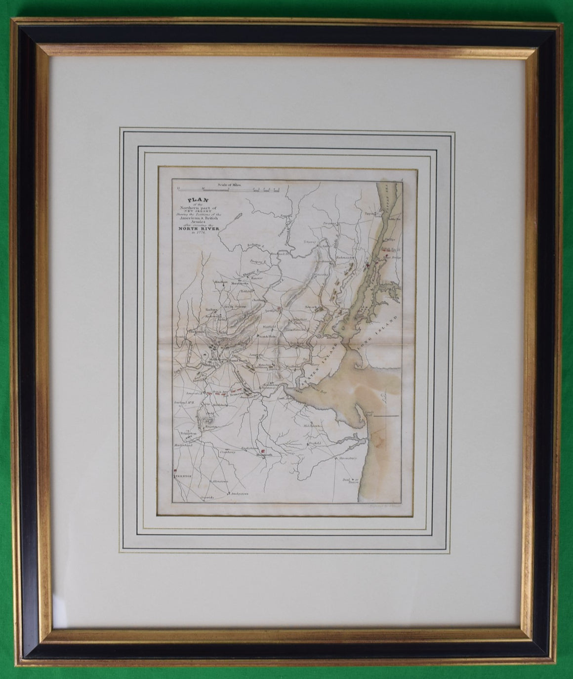
Plan Of The Northern Part Of New Jersey Showing The Positions Of The American & British Armies
$650
After Crossing The North River in 1776 Map Sz: 9 7/8"H x 7 1/4"W Frame...
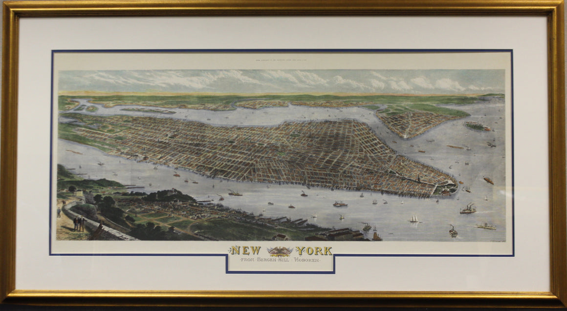
"New York Map" (SOLD)
Price on Request
Map of New York from Bergen Hill Hoboken by R Loudan (LL) as an extra...
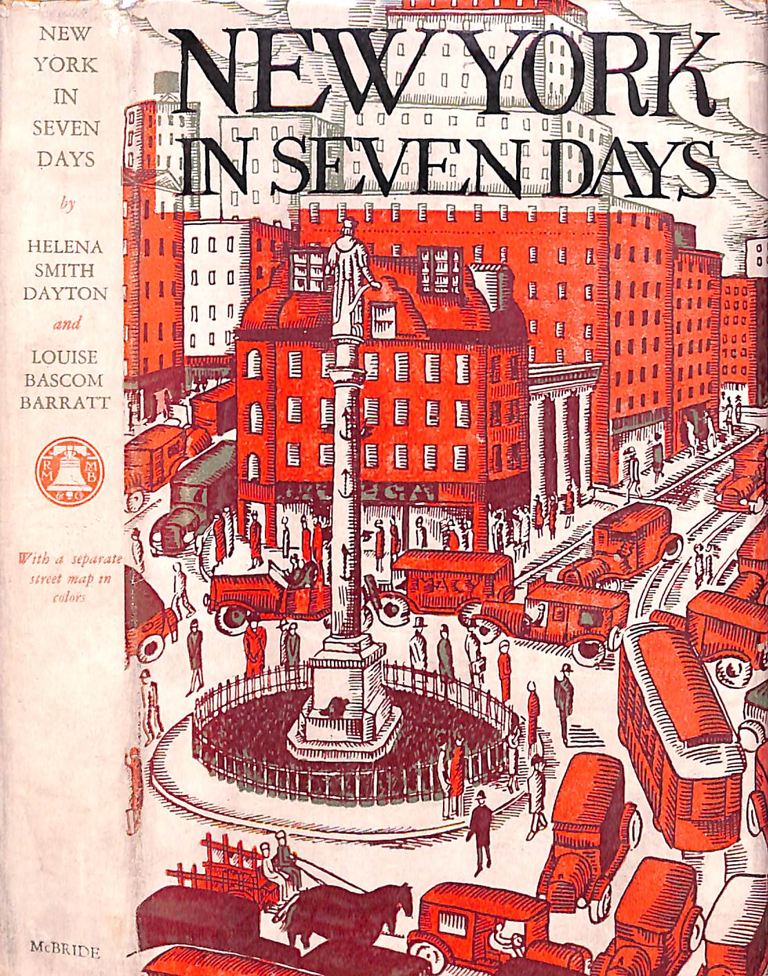
"New York In Seven Days" 1926 DAYTON, Helena Smith and BARRATT, Louise Bascom (SOLD)
Price on Request
DAYTON, Helena Smith and BARRATT, Louise Bascom [170] pp. Robert M. McBride & Company 1926...
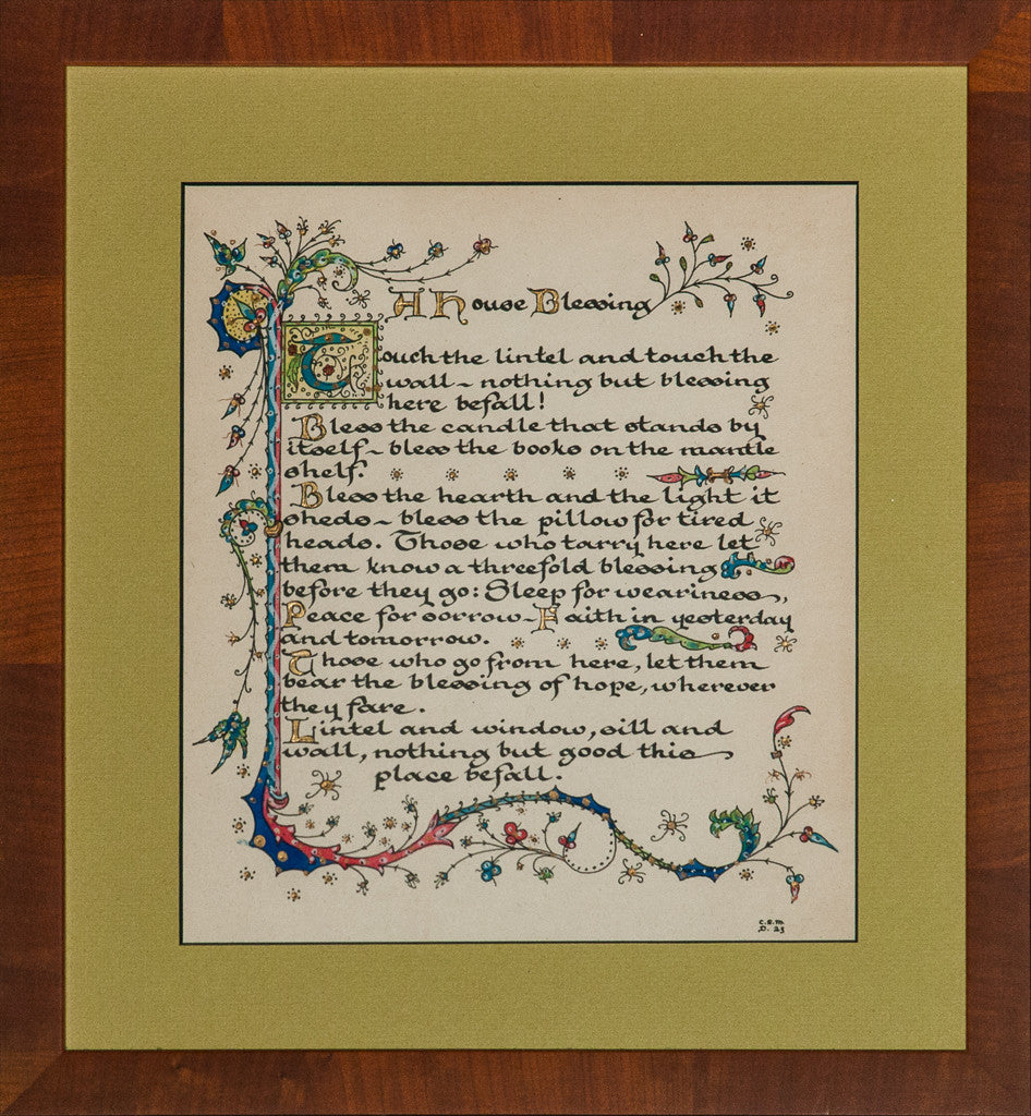
"A House Blessing" (SOLD)
Price on Request
Elegant hand-illuminated gouache manuscript entitled "A House Blessing' c1923 & signed C.S.M. (LR) Art Sz:...
"Bermuda Map" (SOLD)
Price on Request
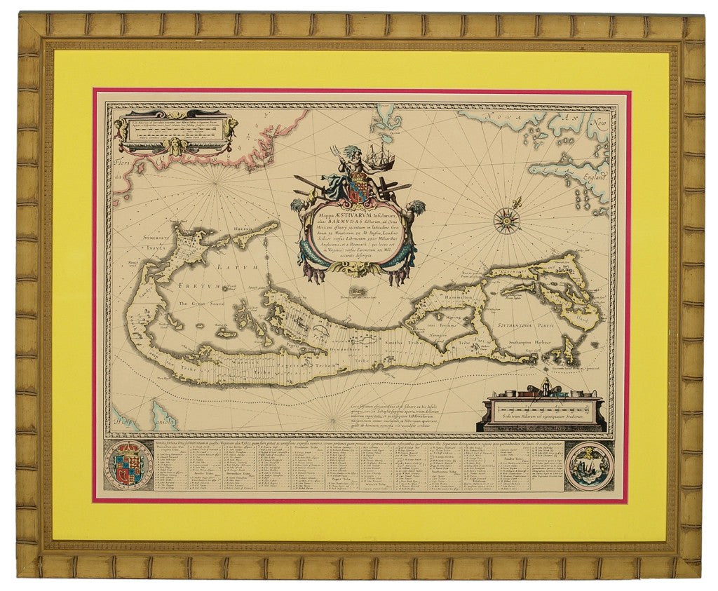
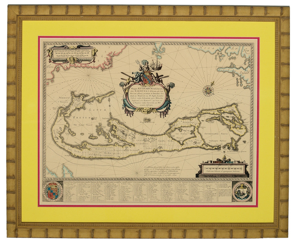
Colourful antique bamboo framed map of Bermuda including the nine parishes Map Sz: 16 1/4"H...
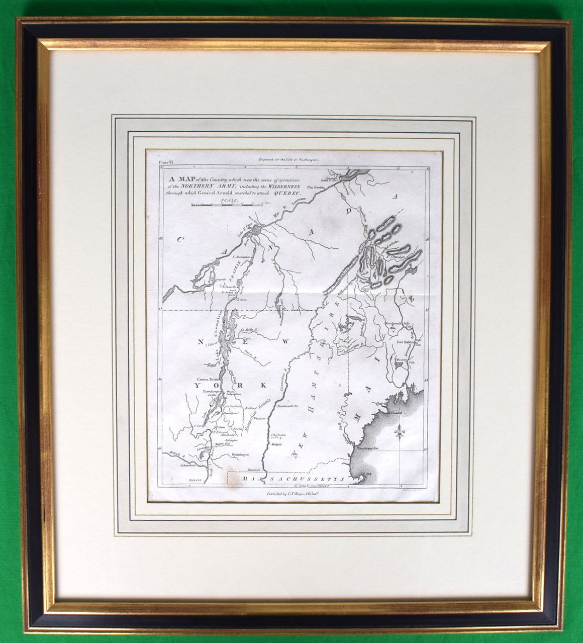
American Revolution Map Drawn For John Marshall's "Life Of Washington" First Accurate Historical Maps Of The War 1806
$750
A Map Of The Country Which Was The Scene Of Operations Of The Northern Army:...
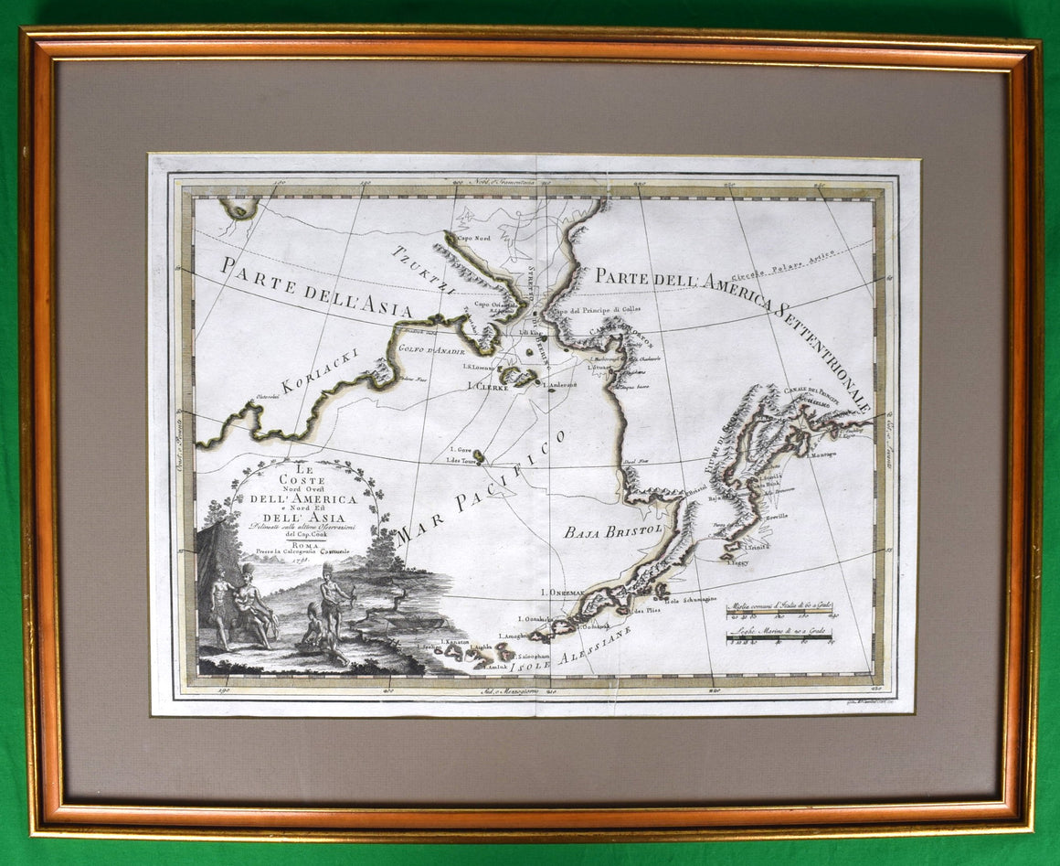
Le Coste Nord Ovest Dell' America E Nord Est Dell' Asia Delineate Sulle Ultime Osservazioni Del Cp. Cook. 1798
$950
Map Sz: 14 1/2"H x 19 7/8"W Frame Sz: 21"H x 26 3/8"W A fine...
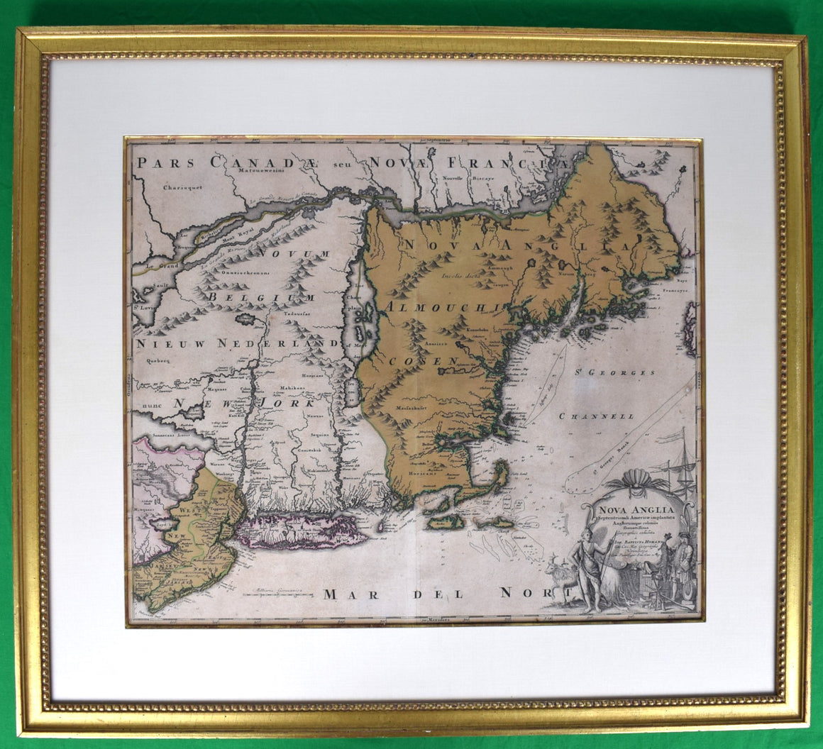
HOMANN, Johann Baptist (1663-1724) Nova Anglia. Septentrionali Americæ implantata Anglorumque coloniis florentissima geographice exhibita â Ioh. Baptista Homman, sac. cæs. maj. geographo.
$3,500
Map Sz: 18 3/4"H x 22 5/8"W Frame Sz: 27 1/2"H x 31"W Nuremberg: Homann...
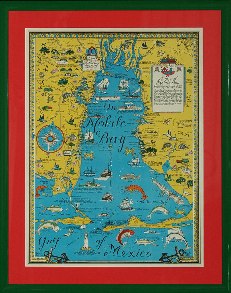
On Mobile Bay (SOLD)
Price on Request
Vintage c1950 colorfully framed map of 'Mobile Bay" by Marion Ackes Map Sz: 21 1/4"H...
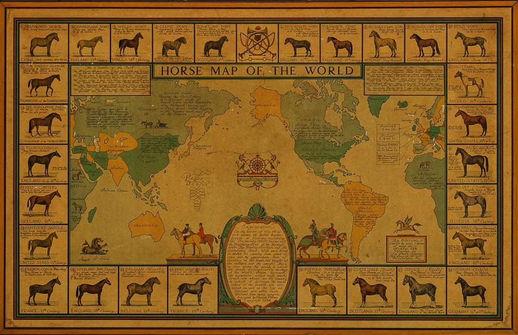
Horse Map of The World (SOLD)
Price on Request
Classic c1934 limited edition 654/ 1,000 'Horse Map of The World' designed by Joseph P....
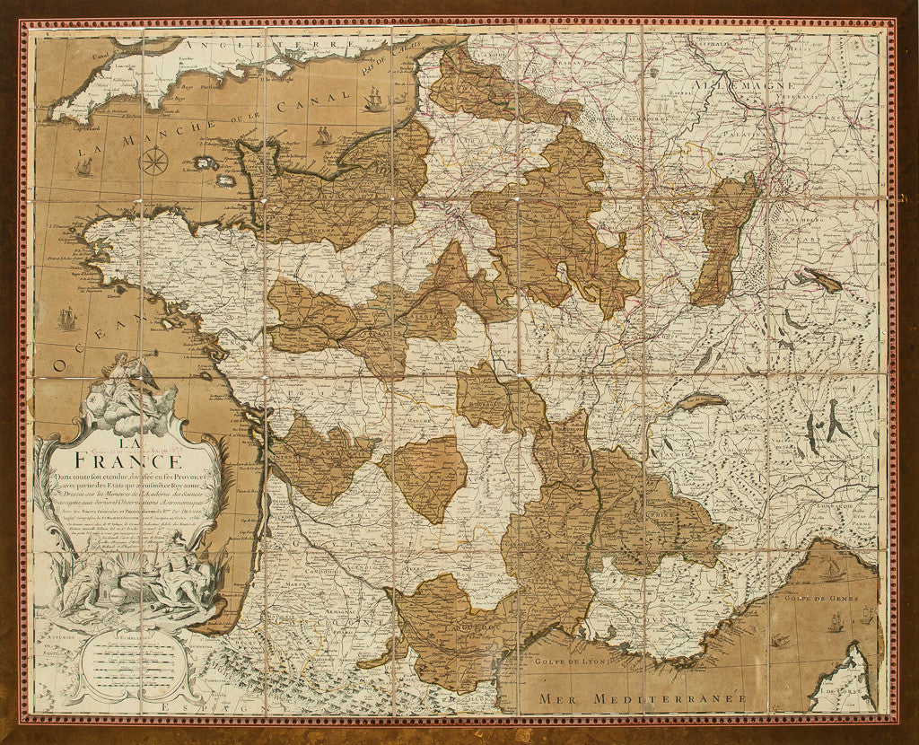
"Le France" c1870 Map (SOLD)
Price on Request
(28) panel c1870 map of France Map Sz: 30 3/4"H x 38 1/4"W Frame Sz:...
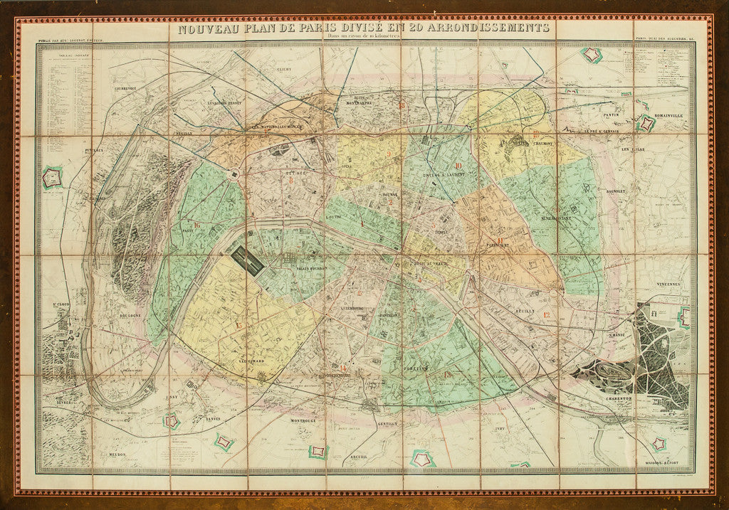
"Nouveau Plan De Paris" (SOLD)
Price on Request
19thC gilt framed map c1878 of the Paris arrondissement Map Sz: 27"H x 41"W Frame...
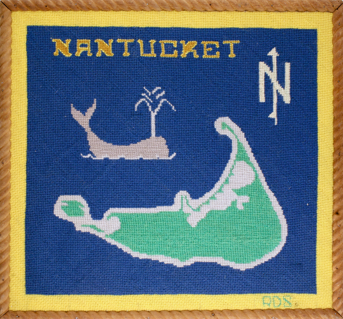
"Nantucket Needlepoint Map" (SOLD)
Price on Request
Vintage c1960s hand-needlepoint map of Nantucket w/ spouting whale in a period rope twist wood...
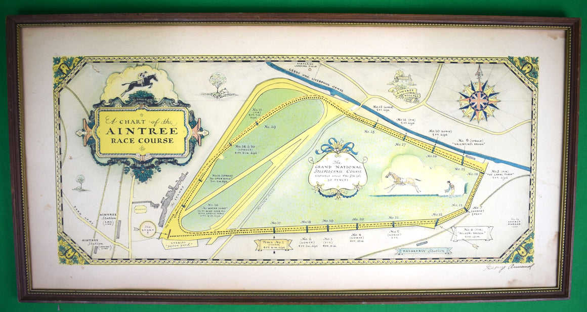
Chart Of The Aintree Race Course 1930 Hand-Coloured & Signed By The Artist George Annand
$1,500
Art Sz: 12"H x 24 3/4"W Frame Sz: 13 1/4"H x 25 7/8"W Hand-coloured by...
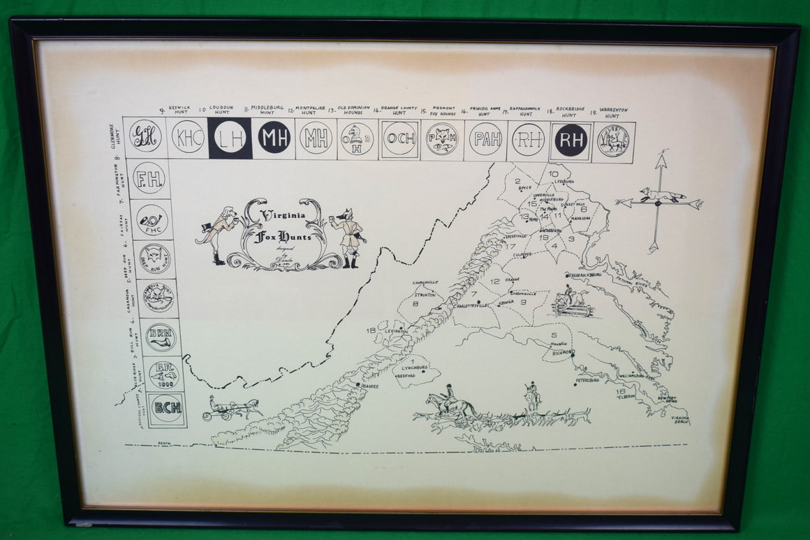
"Virginia Fox Hunts c1982 Map Designed By Danila" (SOLD)
Price on Request
Map Sz: 17 3/4"H x 24 3/4" Frame Sz: 19 1/4" x 26 1/4" 1-...
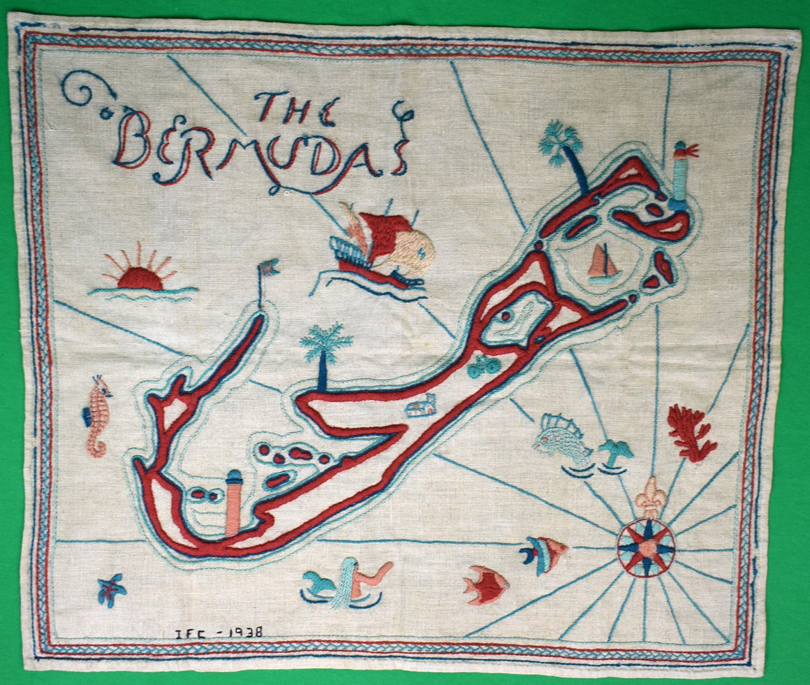
"The Bermudas Hand-Stitched c1938 Island Map" (SOLD)
Price on Request
Material: Linen Signed: IFC- 3-14-1938 1938 18"H x 21 1/2"W Scroll Down for (9) Additional...
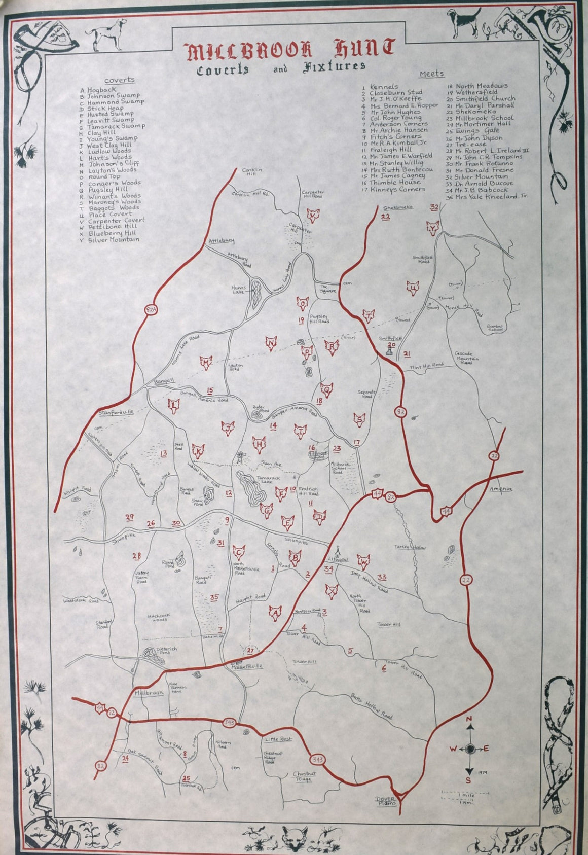
"Millbrook Hunt Coverts And Fixtures Map" (SOLD)
Price on Request
Sz: 31 1/2"H x 21 3/8"W About The Millbrook Hunt:Founded in the 1890’s, the Millbrook...
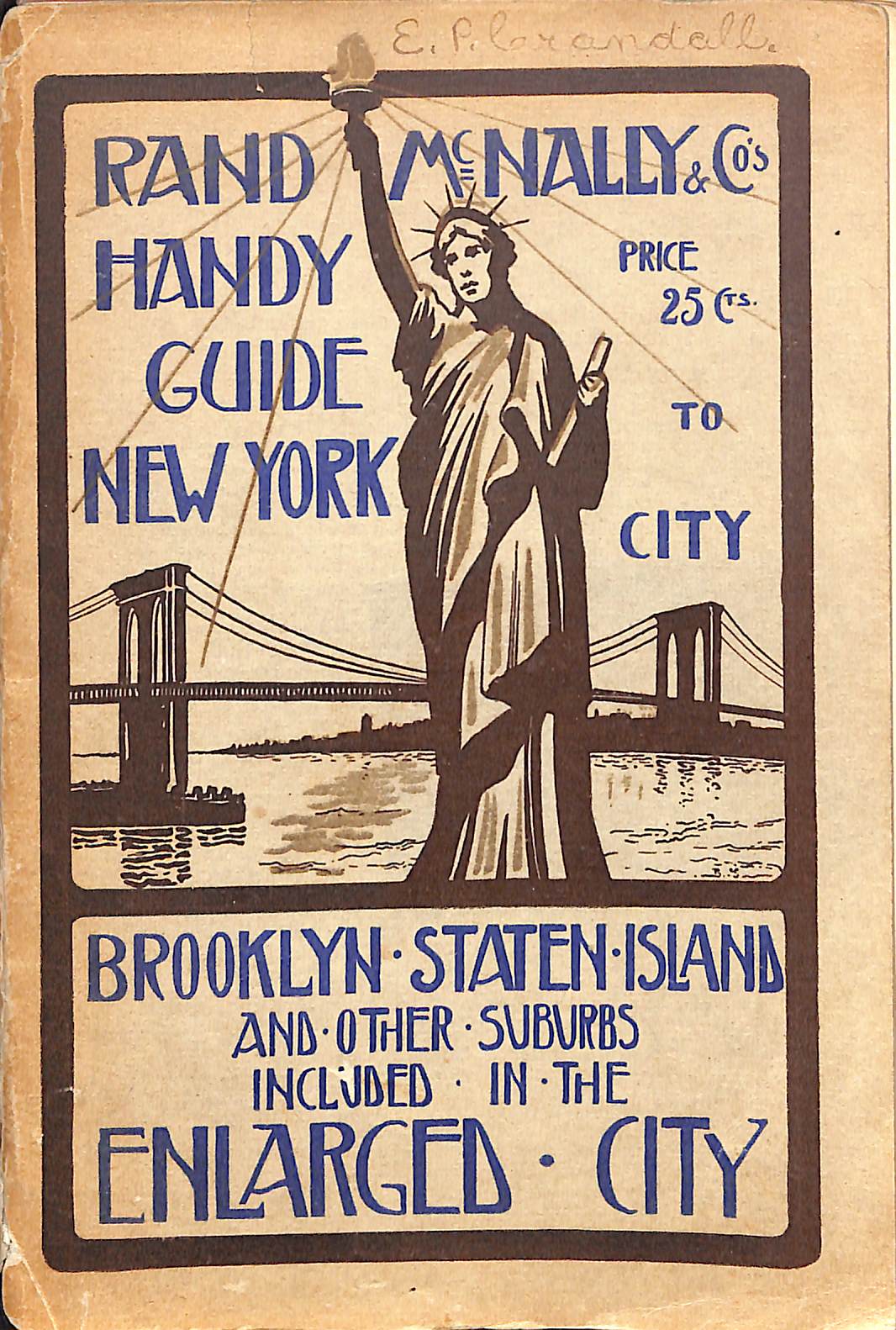
"Rand McNally & Co's Handy Guide To New York City/ Brooklyn/ Staten Island" 1903 INGERSOLL, Ernest
$750
INGERSOLL, Ernest [230] pp. Rand, McNally & Co., Publishers 1903 Fourteenth Edition 7 1/2" x...
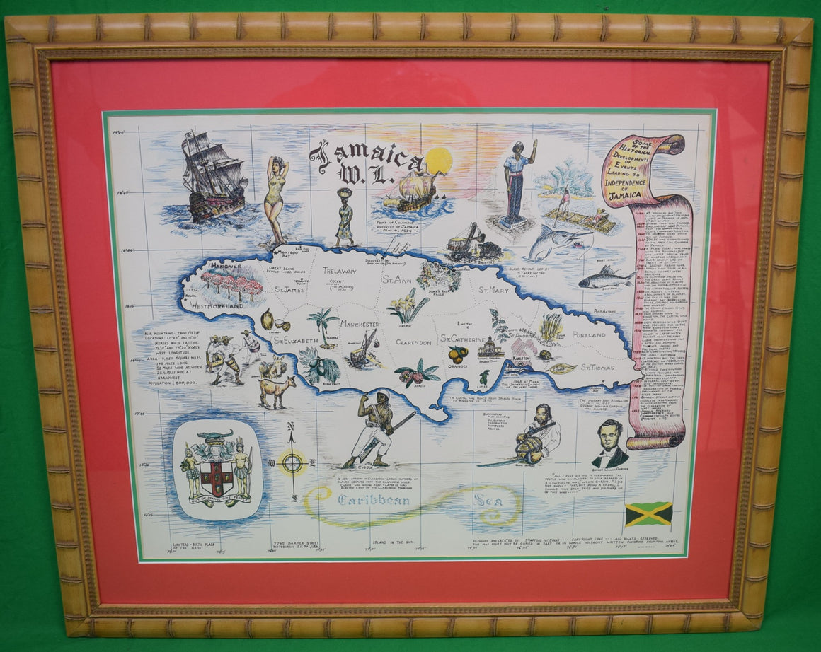
"Map Of Jamaica" 1962 Designed And Created By Stafford W. Evans (SOLD)
Price on Request
Map Sz: 16 1/4"H x 20 3/4"W Frame Sz: 23 3/8"H x 27 1/4"W In...
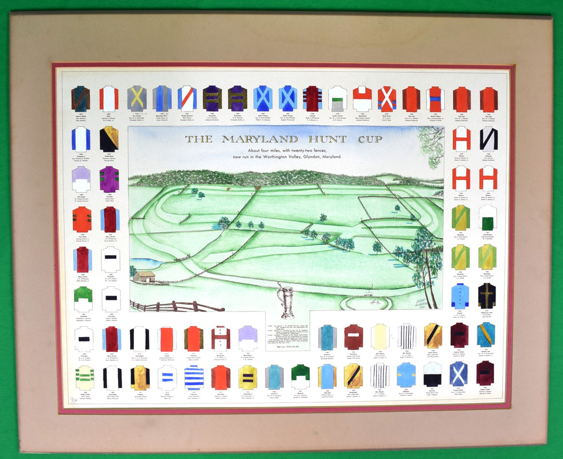
“The Maryland Hunt Cup" Hand-Watercolor 1966 Map by Robert Eldredge (SOLD)
Price on Request
w/ past (1894-1963) 67 MHC winning owners' silksArt Sz: 18 1/4"H x 24 1/4"WLimited Edition:...
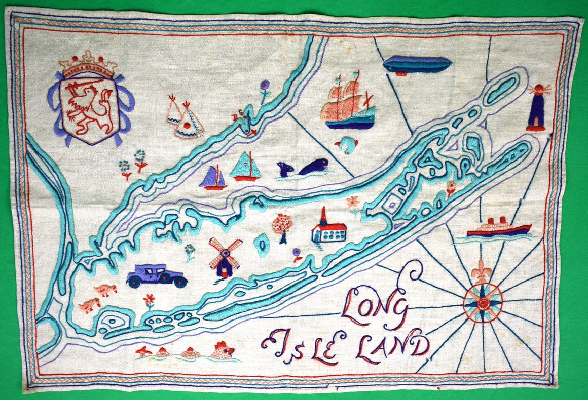
"Long Isle Land c1930s Crewelwork Linen Embroidered Map"
$1,400
Sz: 18"H x 26"W Scroll Down for (7) Additional Pics:
"Baedeker's London And Its Environs Handbook For Travellers" 1915 BAEDEKER, Karl
$175
BAEDEKER, Karl [487] pp.w/ numerous folded maps includedKarl Baedecker, Publisher19156 3/8" x 4 1/2"
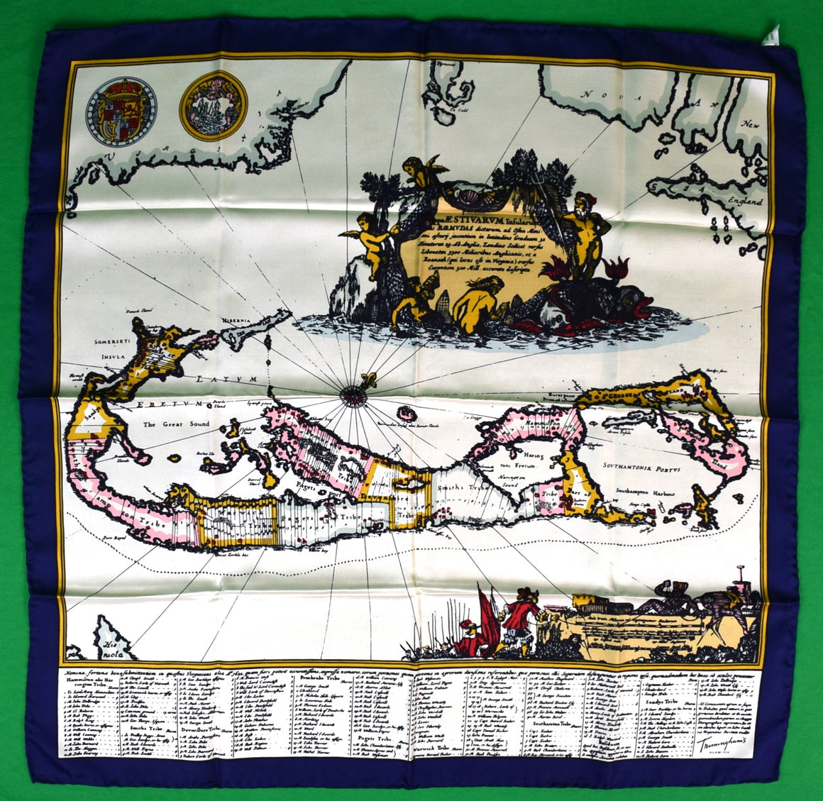
"Trimingham's Map Of Bermuda Italian Silk Scarf" (SOLD)
Price on Request
Sz: 26" x 26"Made in Italy100% Silk Suitable for Framing Excellent/ 'Deadstock' Condition Arnoldus Montanus's...
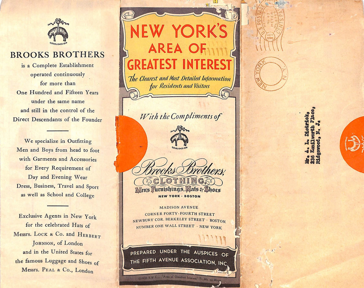
"New York's Area Of Greatest Interest" 1933 Map by Brooks Brothers
$250
The Clearest and Most Detailed Information for Residents And Visitors193328"H x 18 1/4"W14-fold mapw/ the...
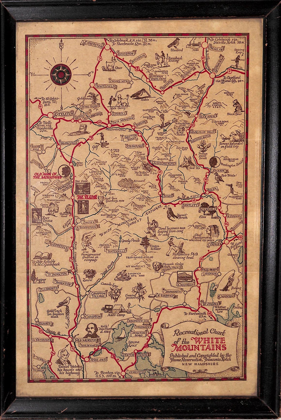
"Recreational c1920s Chart Of The White Mountains Franconia Notch New Hampshire" (SOLD)
Price on Request
Map Sz: 10 5/8"H x 6 7/8"WFrame Sz: 11 3/4"H x 8"WAntique pictorial map of...
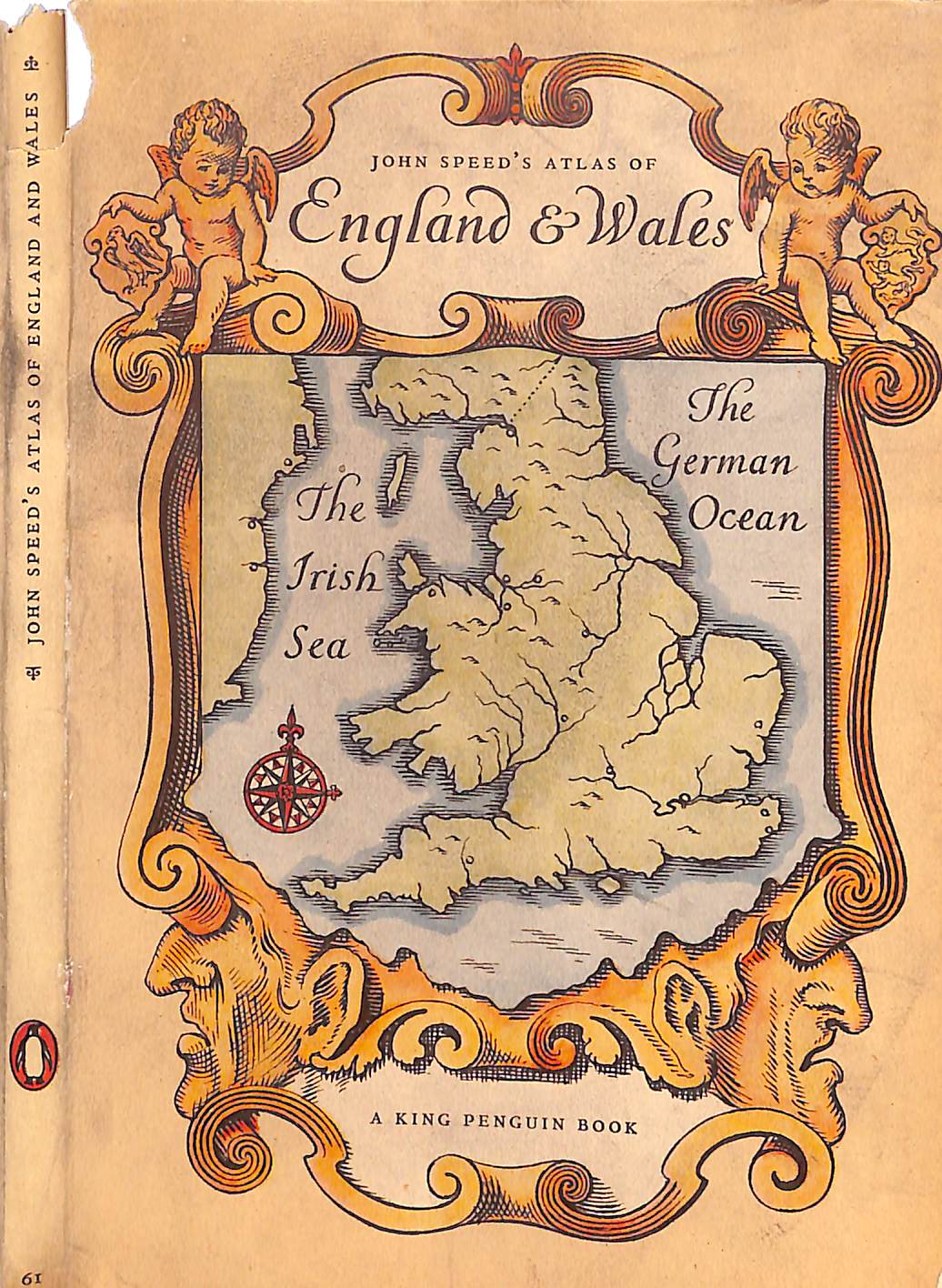
"John Speed's Atlas Of England & Wales" 1951 TAYLOR, E.G.R.
$75
TAYLOR, E.G.R.[31] pp.w/ 40 platesPenguin Books Ltd.19517 1/4" x 5"
"English Place-Names" 1949 STOKES, H.G.
$45
STOKES, H.G. [120] pp. B.T. Batsford Ltd. 1949 Second Edition 8 5/8" x 5 3/4"...
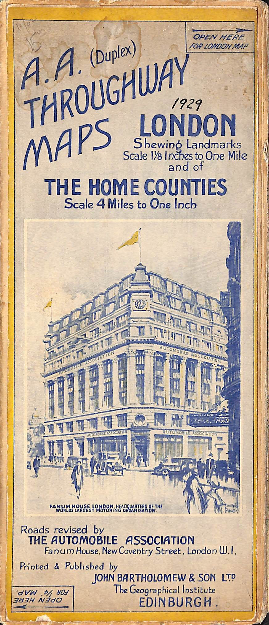
"A.A. Throughway Maps" 1929
$75
w/ 24-fold Throughway Map of London & 22-fold Throughway of the Home CountiesScale 4 Miles...
"Appletons' Short-Trip Guide To Europe" 1868 MORFORD, Henry (SOLD)
Price on Request
MORFORD, Henry [335] pp.D. Appleton & Co.18686 5/8" x 4 1/2" VGPrincipally devoted to England,...
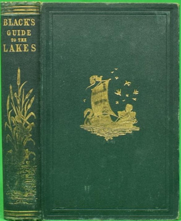
"Black's Picturesque Guide To The English Lakes" 1872
$150
[293] pp. Adam And Charles Black 1872 Seventeenth Edition 7" x 4 3/4" w/ 16-fold-out...
"Historical And Commercial Atlas Of China" 1964 HERRMANN, Albert
$250
HERRMANN, Albert [112] pp. Literature House, Ltd. 1964 13 1/8" x 8 1/4" w/ embroidered...
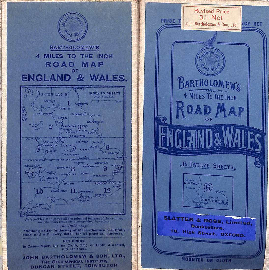
"Bartholomew's 4 Miles To The Inch Road Map Of England & Wales"
$250
Norfolk & Lincoln John Bartholomew & Son Ltd. 7 3/8" x 3 5/8" Map Sz:...
"The Water World" 1886 VAN DERVOORT, Prof. J.W.
$250
VAN DERVOORT, Prof. J. W. [512] pp. w/ 4-fold map between pages 60 & 61...
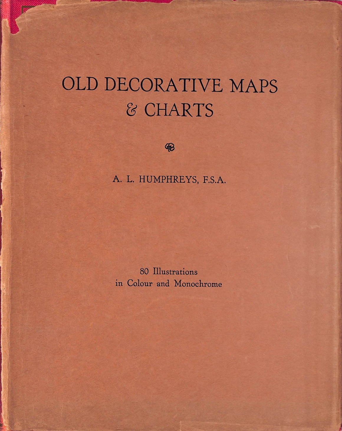
"Old Decorative Maps And Charts" 1926 HUMPHREYS, Arthur L. F.S.A.
$350
HUMPHREYS, Arthur L. F.S.A. 79 plates 80 illustrations in colour & monochrome Halton & Truscott...
"Cruising In The West Indies" STOKES, Anson Phelps
$350
STOKES, Anson Phelps [126] pp. Dodd, Mead & Co. 1902 8 1/4" x 5 1/2"...
"The Pocket Guide To The West Indies" ASPINALL, Sir Algernon
$150
British Guiana, British Honduras, Bermuda, The Spanish Main, Surinam, And The Panama Canal ASPINALL, Sir...
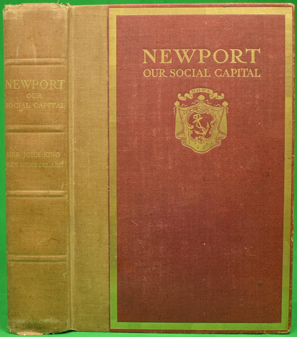
"Newport: Our Social Capital" 1905 VAN RENSSELAER, Mrs. John King
$2,500
VAN RENSSELAER, Mrs. John King [401] pp. J.B. Lippincott Company 1905 First Edition This edition...
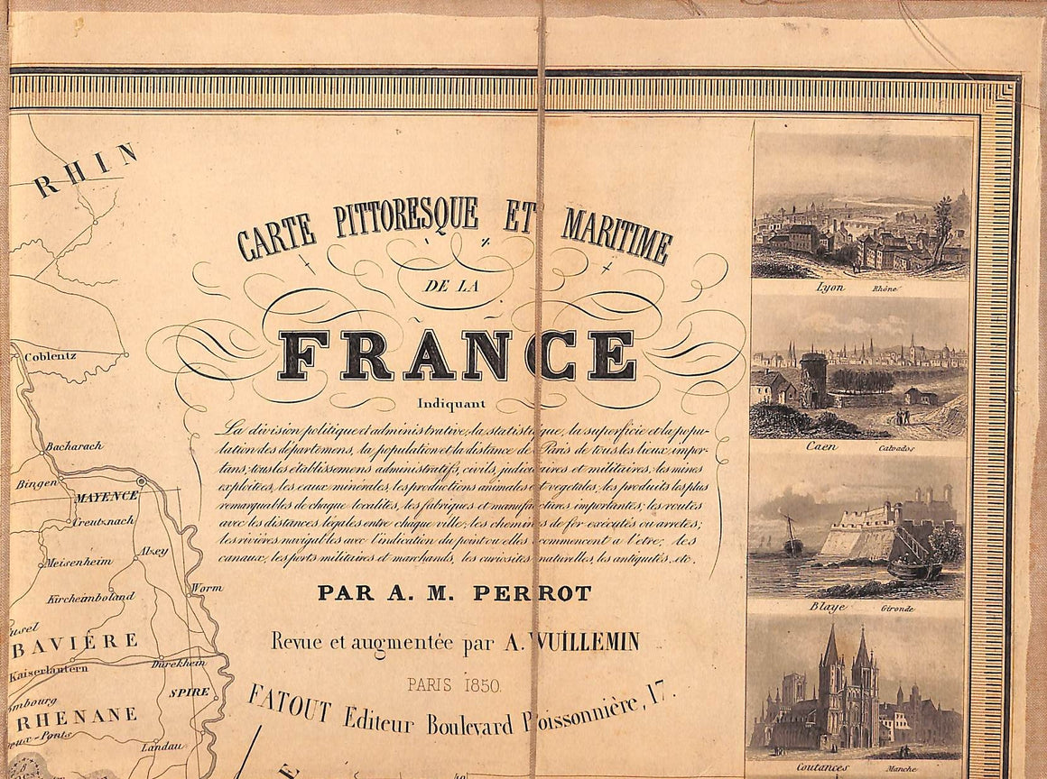
"32-Fold Parchment Linen Map of France 1850" PERROT, A. M.
$600
1850Open: 33.5" x 44"Fatout Editeur
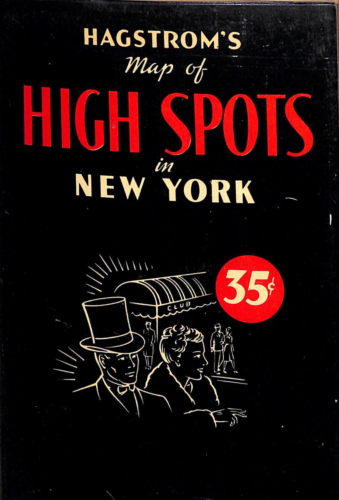
"Hagstrom's Map Of High Spots In New York" 1949
$150
Hagstrom CompanyMap No. 2537A24-fold map Map Sz: 31 1/2" x 15 3/4" VG
"Join Us At Shannon Lodge Bernardsville, N.J." Brochure
$100
An English Country Estate in The Rolling Jersey Hills c1930s 7 1/2" x 5 3/4"...
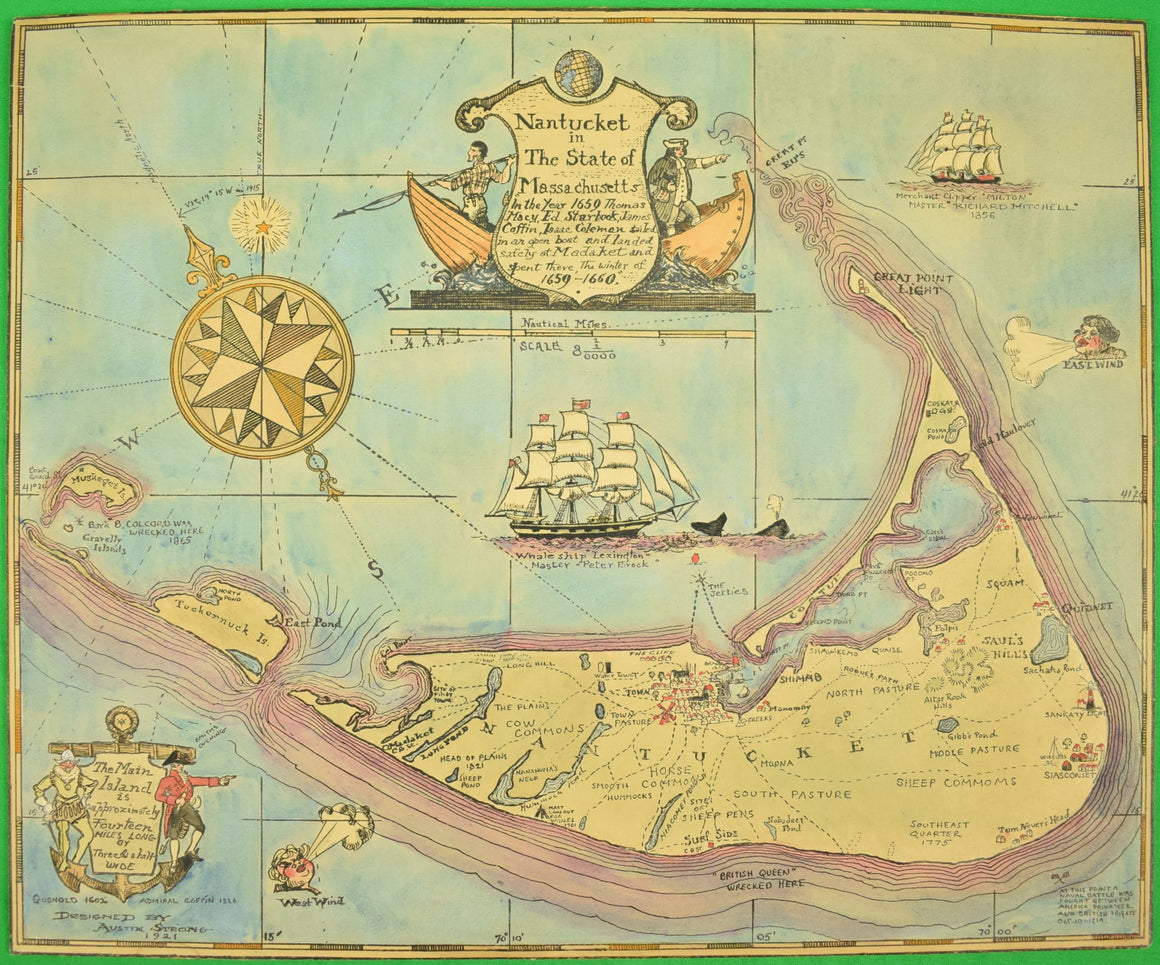
Watercolor Map Of Nantucket, Designed 1921 by Austin Strong (American, 1881-1952) (SOLD)
Price on Request
Sz: 13 1/2"H x 16 1/2"WWatercolor & ink embellished on paper w/ board backing VG...


